A Deeper Dive: Red Rock Canyon’s Increased Use Requires Smart Safety Measures
By ALAN SNEL
LVSportsBiz.com
I meet all types of people in Red Rock Canyon, from local Summerlin folks to tourists from across the globe. And just yesterday, near the BLM scenic drive entrance a mere four miles from Summerlin’s half-a-million-dollar houses, I was bicycling about 3:15 p.m. when I met a middle-aged man in jeans, a cotton shirt and a hoodie towing a small black carry-on suitcase on wheels with a two-liter bottle of Dr. Pepper poking out of the main compartment.
He said his name was Jack and that he just arrived from Jacksonville, Florida. He told me he came to the State Route 159 shoulder about 150 feet from the scenic road entrance because he heard a lot of hub-bub back in Florida about how beautiful Red Rock Canyon was about 20 miles west of the Las Vegas Strip.
He mentioned he was blind, though he also noted he could see well enough to walk along the 159 shoulder from Summerlin to the scenic drive entrance. He mentioned about camping at the BLM campground about a mile down SR 159 to the east.
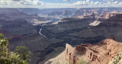
The Red Rock Canyon Genie is out of bottle. The call of the Red Rock siren is a powerful scenic magnet, luring visitors from across the western United States, tourists from around the world and good ol’ locals from here in Summerlin (Red Rock’s suburban gateway) and across the Las Vegas market. People popping in to Red Rock Canyon even include our new friend Jack and his two-liter bottle of Dr. Pepper.
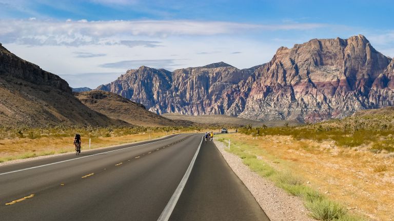
For non-motorists, the SR 159 paved shoulder is the only way out to Calico Basin, the BLM scenic drive, the dirt parking lots for hikers hoofing trails into Red Rock’s smaller canyons and Blue Diamond.
Life along this scenic corridor has changed. Earlier this week, I wrote about the need for a modest parallel laved trail along State Route 159 because of the increasing numbers of walkers strolling along the 159 shoulder through the Red Rock Canyon corridor and the increasing numbers of car drivers who routinely travel at speeds of 60 mph and higher. This story is a deeper dive into Red Rock.
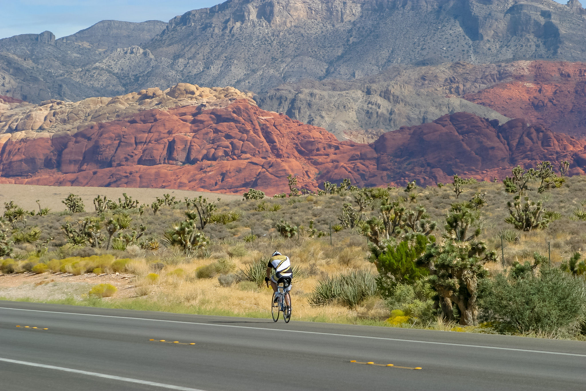
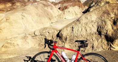
There was a time when SR 159 shoulders were used mostly by road bicyclists. You would see them, especially on Saturday mornings where groups of lycra-clad cyclists wearing tight and colorful jerseys on fast-moving road bicycles made their weekend pilgrimage through Red Rock Canyon to the federal BLM scenic drive and Blue Diamond.
Now, more and more runners are sharing the shoulders, too.
Plus, it’s the increased presence of pedestrians that I’m seeing these days walking along SR 159’s shoulders, just a few feet from where motorists are driving about 60 mph.
On Wednesday before I met Jack near the scenic drive entrance, I saw a couple in their 30s just strolling along the 159 shoulder near the Calico Basin turn at about 3 p.m. or so.
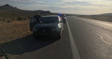
There’s also increased car and motorcycle traffic zooming through Red Rock Canyon, where the posted speed limit is 50 mph.
Bicyclists who have often pedaled these SR 159 shoulders can tell their own horror, close-call stories of drivers making turns and cutting them off or passing way too closely.
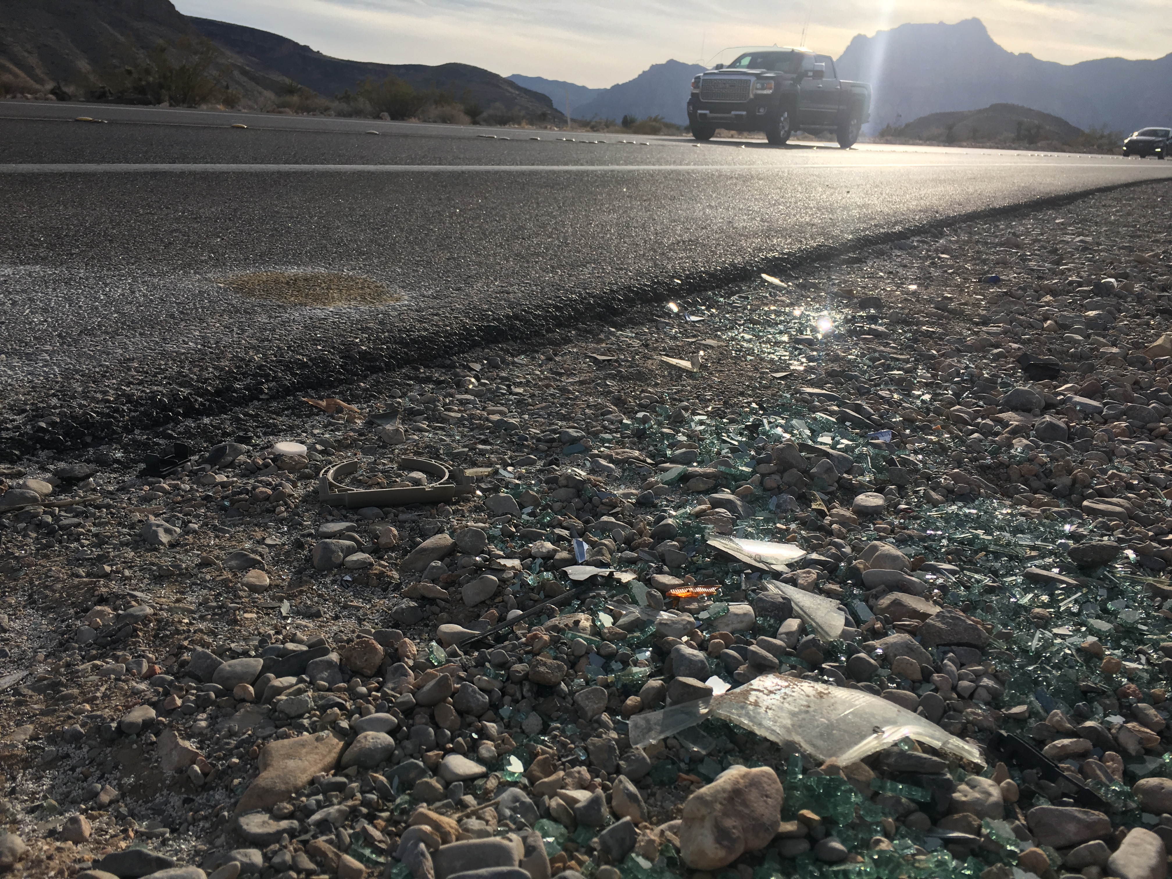
My anecdote comes from a recent bicycle ride this week. Just three days ago on Monday, I exited the scenic drive onto 159 and made a left turn to head back to Summerlin. As I began cresting the small hill that leads to the 159 overlook, two Evil Knievel wannabes on Crotch Rockets passed a car on the shoulder and the motorcyclists passed me while straddling the road’s white line.
Their motorcycles whizzed by me with a clearing distance of only a few feet, as I pedaled my bicycle toward the right side of the 159 shoulder.
These shoulders, which range in width from five to 10 feet or so, have also become staging areas for photo shoots.
ADVERTISEMENT

During one one bike ride last year, a car driver stopped her vehicle in the shoulder and set up her tripod in the middle of the shoulder and proceeded to snap away. When there’s no car traffic on 159, it’s no big deal to circumvent a parked vehicle on the shoulder or the next Ansel Adams setting up shop in the shoulder. But when there’s heavy car traffic, you must use extreme caution and be vigilant about your safety.
The following day Tuesday of this week, I was on my bicycle again on 159 in Red Rock, this time making a left turn from Calico Basin onto 159 to return to Summerlin two miles to the east. A motorist who was obviously a visitor is making a right turn off SR 159 onto Calico Basin and then stops to ask me while I’m looking to make a left turn in to 159, “Where is Red Rock?” This driver stopped mid-right turn and there was another motorist behind him also trying to make a right turn.
Yes, people have discovered Red Rock Canyon and State Route 159.
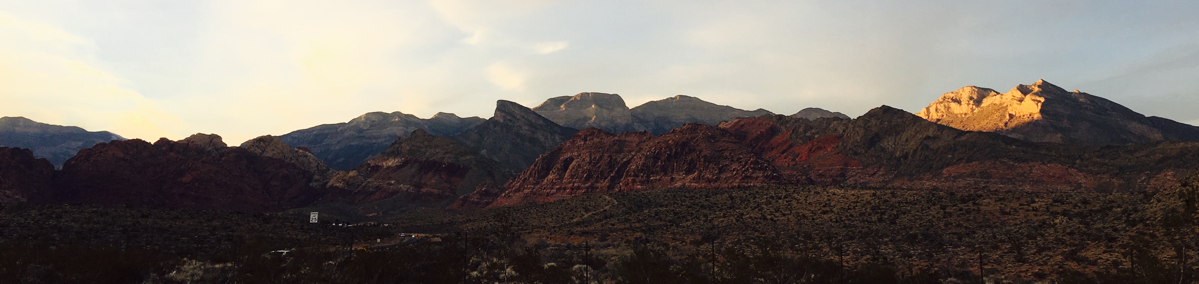
We all love Red Rock Canyon.
And we should share its natural wonders, its Big Red Stripe and the glorious landscapes in open-space settings that are a remarkable, joyful and inspiring jolt just outside a sprawling metropolitan area.
Red Rock is no longer Las Vegas’ best-kept secret. All types of users and people of all ages have discovered what I realized the moment I saw the vast Red Rock Canyon vista open before me in September 20112 when I crested the small hill leading out of Summerlin near the tourist canyon sign — Red Rock is my Happy Place.
To keep it that way, I’m suggesting the state, Clark County, the federal BLM, Nevada Highway Patrol, Metro Police, Howard Hughes Corporation and even the LVCVA (this is a tourism corridor, too) work with residents and Red Rock Canyon users to map a game plan to protect its natural beauty while keeping the corridor safe for road users of all types no matter your mode of movement.
We need a modest paved trail along State Route 159 from Summerlin to State Road 160. Most bicyclists will continue to use the 159 shoulder, but increasing numbers of walkers and runners plus young and inexperienced bicyclists could use this trail.
We need state highway patrol and Las Vegas Metro police officers to work with BLM rangers to beef up police presence and crack down on reckless motorists who imperil the lives of bicyclists, walkers and fellow car drivers.
We need to be pro-active, to take pre-emptive measures, to be ahead of the safety curve.
*
Follow LVSportsBiz.com on Twitter, Facebook and Instagram. Contact LVSportsBiz.com publisher/writer Alan Snel at asnel@LVSportsBiz.com if you would like to buy his new book, Long Road Back to Las Vegas